Heading up the trail a the sun comes up
The trail to the Flatiron in the Superstition Range takes off from the campsite. Our aim was 2/3 up the trail to the "basin."
The Flatiron is the lump in the middle above the rightmost window in our trailer
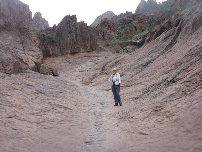
When you reach the rocks you pretty much go straight up a draw and follow the dry watercourse. It's very steep.
Pausing on the hike up to the basin
We reached the basin in 1-1/2 hours, then you drop down into a ravine before climbing up an even steeper ravine to the top of the flatiron.
Instead, after taking a break and taking in the view of the eastern Phoenix area, we headed back diwn, passing the hordes.
Looking back towards Phoenix and the advancing hordes
There were not many birds around; therefore we bring the plant of the day:
which I think is a Justicia


No comments:
Post a Comment